Showing posts with label cumbres and toltec. Show all posts

Tuesday, February 19, 2013

Iron horses and wild horses

The next morning, we woke up early to chase the train up to Cumbres Pass. The Cumbres and Toltec line is one of very few narrow gauge railroads still operating in this country, and the engines used are some of the last steam engines still in regular use here as well. Built in 1880 as part of the mining network throughout Colorado and New Mexico, it was once possible to ride the narrow gauge in a big loop from Denver south to Colorado Springs and on to Pueblo, then west to Durango via Chama, then north through Silverton, Ouray, and Montrose, and then back east again to Denver. Most of the tracks were abandoned in the 1960s or earlier, and since then most have been ripped out. The only narrow gauge tracks still in use in Colorado are the Chama to Antonito line, the Durango to Silverton run, and the Georgetown Loop.

Because of the incredible mountain scenery, the narrow gauge railroads were very popular for public excursions, and they still are. The train out of Chama was fully booked that morning, and we were part of a procession of cars full of railfans following it as it chugged out of town.

Leaving the station.

Just outside of town, the train passes by the famous "Jukes' Tree" first photographed by railfan Fred Jukes in 1908. (It's the pine on the left of the tracks with all of the missing branches.)


 Trestle!
(It burned down a month later in a brush fire and had to be rebuilt.)


 Lots of winding turns through the valleys to manage the elevation climb.

Coming around Windy Point (with the highway below). 

 At the top of Cumbres Pass.

Spring snow melt.

We chased the train a bit further, but the road and the tracks split a few miles on and don't meet up again until you get to Antonito, so we turned around and head back to Chama. From there, we headed west and then north on the road to Pagosa Springs, CO. The drive was full of stunning scenery.


One thing has struck me about Colorado is that no matter where I go in the state, there is remarkable sculptural art everywhere, even in the most mundane places, such as this mall parking lot in Pagosa Springs.


About 20 miles west of Pagosa Springs on the road to Durango is Chimney Rock National Monument, an ancient Ancestral Puebloan (Anasazi) site. Situated between two spires of rock on a cliff overlooking the valley, the site features more than 200 rooms, including pit houses and ceremonial kivas. Archaeologists think that as many as 2,000 people may have lived there from about A.D. 925 to 1125.


We continued on to Durango where we spent a few minutes driving around town. My parents were there in the 1970's and were curious to see how it had changed. While we were stopped in traffic, we spotted a mule deer casually strolling across a nearby construction site.


With my background in history and archaeology, one of the places I most wanted to visit on our trip was Mesa Verde, so we continued west from Durango into Anasazi country.

 Nearly there!

The road into the park twists and winds its way up to the top of the mesa, affording some spectacular views.


Fires are a natural part of the ecology of the southwest, and the skeletons of dead trees bear witness to their passage through the park. The Bircher Fire in 2000 burned more than 23,000 acres.

As a treat, my dad decided we should stay at the lodging in the park for one night.

The visitors' center.

The lobby.

A fabulous Navajo sand painting on display.

Our room.

Pretty decor. (Yep, the Navajo storm patterned purse is of course mine.)

We opted to eat at the casual visitors' cafe (with gift shop) just down the road from the welcome center, and while driving we spotted some horses. We thought for sure they must be trail horses belonging to the park service, but the gal in the welcome center assured us they were in fact wild. 

My first view of Mustangs!

Inside the cafe (apologies for the blurry shot).

The view from the dining room.

After dinner, we sat on the balcony behind our room to look out across the green table land for which the park was named. The utter quiet was marvelous, and it was a thrill to see the indigo-black sky full of stars for once.

Next time, adventures in the park!

Thursday, February 14, 2013

"Down New Mexico way, something about the open road"

Day 2 of the Great Colorado Trip of 2010 dawned overcast and windy, and we drove east from Alamosa in search of more breathtaking mountain views in spite of the weather.

Storms over Blanca Peak (and friends)

But by the time we swung south on the road to San Luis, CO, the sun had burst forth, and we were treated to a spectacular view of the southern tip of the Sangre de Christo mountains.

San Luis is the oldest town in Colorado, having been formally established on April 9, 1851. It is small but charming.


 These days, this arid part of Colorado is sparsely populated. Farmers do still eke out a living with the help of irrigation, but with the railroad gone, much of the cattle and sheep industry has gone as well. What few tiny towns we found south of San Luis were often little more than dirt roads and fields, and the abandoned homesteads almost outnumbered the inhabited ones.

 Cows definitely outnumber the tourists.

Ute Mountain, an extinct volcano just across the border in New Mexico, was a familiar sight to some of my ancestors.

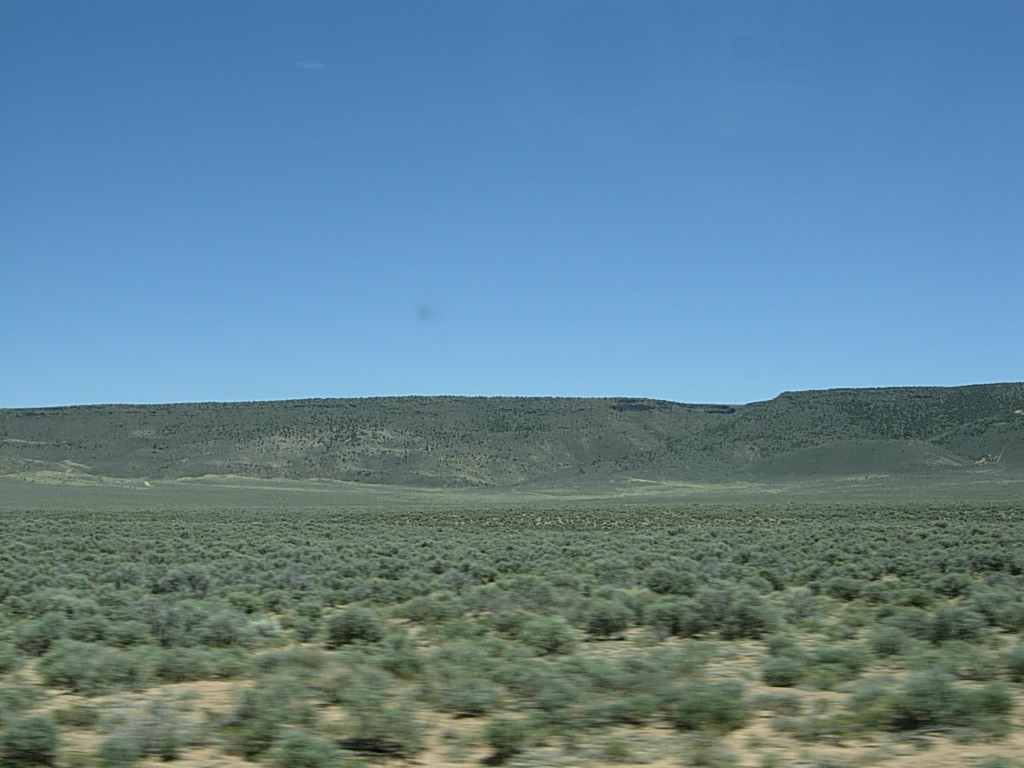
Lots of sagebrush on the road to Antonito, CO.


My dad is a railfan, so we paused in Antonito, CO, to look for trains. The narrow gauge Cumbres and Toltec Railroad still runs between Antonito, CO, and Chama, NM. Standard gauge tracks are 4 feet 8.5 inches wide whereas narrow gauge tracks (in CO, AZ, and NM) are 3 feet wide. The smaller gauge is cheaper to build and maintain, and the smaller curve radii possible are better suited to mountainous terrain.

Narrow gauge only from here to Chama!

An old steam engine on display in Antonito.

 From Antonito, we headed west and then south toward New Mexico. As the road climbed into the mountains, the landscape rapidly became greener.

We saw Aspen trees just beginning to leaf out as we neared Cumbres Pass. This area is part of the southeastern tip of the Rio Grande National Forest.


 Still a bit of snow on the peaks and in the high meadows, even in late May.


At the top of Cumbres Pass, elevation 10,022 feet

Heading down the pass toward Chama, NM.


The station in Chama, NM.

The old round house.

Coal tower

Trains!


A parts donor.

 Chama, NM, is a tiny town, and the Cumbres & Toltec narrow gauge railroad is the main tourist draw for the area. We stayed at the Chama Station Inn right across the road from the station and yard.


Welcome to New Mexico!

Chillin' in Chama outside my room.

After dinner, we drove back up the pass a ways to watch the sun set and to look for wildlife. Though the pictures aren't great, we did find two herds of elk.


As we were walking back to our rooms that night, we heard a coyote singing, something I had never experienced before. It's a lonely, haunting sound, but as someone who has been trapped too long in a major city, it was a thrill to hear. New Mexico isn't called the Land of Enchantment for nothing.

Next time, the drive through southern Colorado to Mesa Verde, featuring iron horses and wild horses.

(The title of this post comes from one of my favorite musical artists, Tori Amos, from her song "A Sorta Fairytale.")