Thursday, February 14, 2013

"Down New Mexico way, something about the open road"

Day 2 of the Great Colorado Trip of 2010 dawned overcast and windy, and we drove east from Alamosa in search of more breathtaking mountain views in spite of the weather.

Storms over Blanca Peak (and friends)

But by the time we swung south on the road to San Luis, CO, the sun had burst forth, and we were treated to a spectacular view of the southern tip of the Sangre de Christo mountains.

San Luis is the oldest town in Colorado, having been formally established on April 9, 1851. It is small but charming.


 These days, this arid part of Colorado is sparsely populated. Farmers do still eke out a living with the help of irrigation, but with the railroad gone, much of the cattle and sheep industry has gone as well. What few tiny towns we found south of San Luis were often little more than dirt roads and fields, and the abandoned homesteads almost outnumbered the inhabited ones.

 Cows definitely outnumber the tourists.

Ute Mountain, an extinct volcano just across the border in New Mexico, was a familiar sight to some of my ancestors.

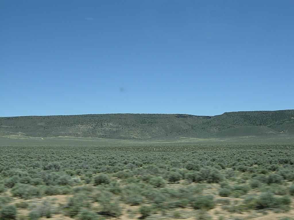
Lots of sagebrush on the road to Antonito, CO.


My dad is a railfan, so we paused in Antonito, CO, to look for trains. The narrow gauge Cumbres and Toltec Railroad still runs between Antonito, CO, and Chama, NM. Standard gauge tracks are 4 feet 8.5 inches wide whereas narrow gauge tracks (in CO, AZ, and NM) are 3 feet wide. The smaller gauge is cheaper to build and maintain, and the smaller curve radii possible are better suited to mountainous terrain.

Narrow gauge only from here to Chama!

An old steam engine on display in Antonito.

 From Antonito, we headed west and then south toward New Mexico. As the road climbed into the mountains, the landscape rapidly became greener.

We saw Aspen trees just beginning to leaf out as we neared Cumbres Pass. This area is part of the southeastern tip of the Rio Grande National Forest.


 Still a bit of snow on the peaks and in the high meadows, even in late May.


At the top of Cumbres Pass, elevation 10,022 feet

Heading down the pass toward Chama, NM.


The station in Chama, NM.

The old round house.

Coal tower

Trains!


A parts donor.

 Chama, NM, is a tiny town, and the Cumbres & Toltec narrow gauge railroad is the main tourist draw for the area. We stayed at the Chama Station Inn right across the road from the station and yard.


Welcome to New Mexico!

Chillin' in Chama outside my room.

After dinner, we drove back up the pass a ways to watch the sun set and to look for wildlife. Though the pictures aren't great, we did find two herds of elk.


As we were walking back to our rooms that night, we heard a coyote singing, something I had never experienced before. It's a lonely, haunting sound, but as someone who has been trapped too long in a major city, it was a thrill to hear. New Mexico isn't called the Land of Enchantment for nothing.

Next time, the drive through southern Colorado to Mesa Verde, featuring iron horses and wild horses.

(The title of this post comes from one of my favorite musical artists, Tori Amos, from her song "A Sorta Fairytale.")

Tuesday, February 12, 2013

Go west, young woman!

NaNoWriMo has come and gone, and Christmas and New Years as well, and suddenly it's nearly Lupercalia. How did that happen?

I guess the stress of holiday travel combined with getting a nasty cold twice in January has left me in a bit of a fog lately. I haven't accomplished nearly as much as I would have liked in terms of writing, but I have at least been thinking about plots and characters in spite of my congested, befuddled brain. I have a couple of  projects banging around inside said organ at the moment, one fiction, one non-fiction. The latter is going to require quite a bit of research and a number of interviews, but it's already shaping up to be a really fascinating, multifaceted endeavor. I hope so anyway.

My fiction project, however, is the primary focus for this blog, or at least it is at the moment. I didn't hit 50,000 words in November, only about half that actually, but I'm pleased with what I did write, and I'm pleased with the plotting and outlining I've done as well. It's a good start. I think my goal is going to be to try to do at least 15,000-20,000 words a month for the next several months. It doesn't sound like a lot, but I'm a slow writer, and I tend to do a lot of revising as I go along.

But anyway, to get back on the writing wagon, I've decided to blog about my Great Colorado Trip of 2010. It's been something I've wanted to gush write about for ages, but it wasn't really a good fit for my model horse blogs. And as that trip was largely the inspiration for my current fiction project, this is the logical place for it. I know personal travelogues are stereotypically boring, so feel free to just scroll through through to the pictures if you want. These next few posts will likely be more of a journal for my own memories, I think. I will try not to be deadly dull however.

+ + + + + + + + + + + + + + + + + + + + + + + + + + + + + + + + + + + + + + + + + + + +

Until May of 2006, I had never been much further west of the Mississippi than Rochester, MN, which is to say, about 40 miles as the crow flies. I had been all over the southeastern states, and I had seen a lot of the midwest as well, I'd even been to Germany twice, but I'd never had the opportunity to see the western half of my own country. My parents made a tour of the Rockies the year before I was born, and they mentioned how amazing it was often enough that when I heard about a judging vacancy at a model horse show in Golden, Colorado, I jumped at the chance. Airfare and lodging were graciously provided---what was there to lose?

My mind, apparently. And my heart. The scenery was unlike anything I'd ever seen before---open plains, rolling green foothills, jagged snow-capped peaks----and it was love at first sight. My dad, of course, was right. The Appalachians, the only mountains I'd previously encountered, just couldn't compare. (Sure, they have their charm, but they're barely foothills these days.) I had such a good time and made so many friends that the show is now an annual mini-vacation for me. The more I go back, the more I love it.

I gushed about my yearly trips to Colorado so much that my parents and sister decided to join me in 2010. We hit the road for a tour of the state the day after the show, heading south from Denver along the front range.


On the road south to Colorado Springs, we saw our first live buffalo.


The road just north of the Springs is dominated by a view of Pike's Peak.


Naturally, we stopped for pictures.


One of my Denver friends had suggested a visit to Garden of the Gods, and as we had to make a pit stop anyway, we decided to have a quick look, not knowing exactly what to expect. It had been described to me as "a bunch of big rocks sticking up out of the ground," and in my naivete, I was thinking along the lines of Stonehenge. Not quite!


 Don't look too hard at my quickie Photoshopping...


My sister and me.

As we drove further south, the land became more arid. The green grass began to give way to the sand and scrub of the high desert. We turned west at Pueblo, heading directly into the arms of the mountains.


After passing through the small town of CaƱon City, we took a short side trip to see the Royal Gorge, a deep and narrow canyon through which the Arkansas River flows. It's a popular place for rafters, and the Royal Gorge Railroad still runs excursions along the bottom of the canyon beside the river. 

The bridge that spans the gorge.

And the river some 1200 feet below.

Cacti!

An old Denver and Rio Grande narrow gauge engine and caboose on display at the gorge.

 After admiring the gorge (and the numerous interesting cacti in the area), we continued on our way to Salida through the incredibly picturesque Bighorn Sheep Canyon. The Arkansas River winds through this canyon before passing through the Royal Gorge, and though BHSC is not nearly so deep, it is every bit as beautiful. Every turn of the road offered slightly different terrain to admire, and the river itself was full with spring snow melt, creating some rather harrowing rapids for the rafters. Alas, despite the name, we did not see any Bighorn Sheep.


Leaving the canyon and driving onward to Salida.

 We continued west only a few miles before turning south at Poncho Springs and heading up over Poncha Pass, our first major elevation highpoint at 9,010 feet.


The view south from Poncha Pass, the Sangre de Christo Mountains.

The road south through the San Luis Valley to Alamosa follows the old roadbed of the narrow gauge Denver and Rio Grande Railroad, including a 50-mile stretch of perfectly straight road, one of the longest in the country. The valley is sparsely populated and though it is barren and dusty, it has a certain austere beauty. 


Many of the farms along the road had repurposed old D&RG narrow gauge box cars as sheds, but a few still stood in the yard at Alamosa. 


The old station in Alamosa.

And one of the prettiest views in Alamosa, the Rio Grande River.

Next time, the road to Chama, New Mexico!